WinGPS Marine app
Category:Map navigationSize:6.9MVersion:v4.67 Latest versionTime:2024-10-09 11:08
- Introduction
- Related applications
- User Reviews(0)
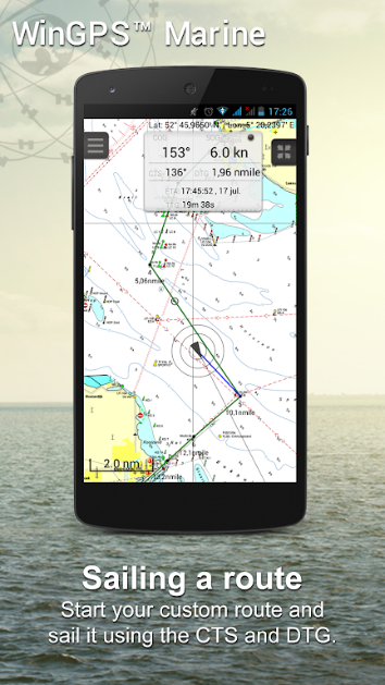
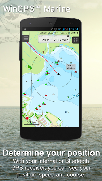
WinGPS Marine is a modern and easy to learn navigation tool that provides everything you need for safe navigation. By long pressing on the map, you can draw the route, and the GPS on board will display your precise location. Download the latest offline map and sail with peace of mind even without internet connection. Connect AIS through WIFI to prevent possible collisions.
software function
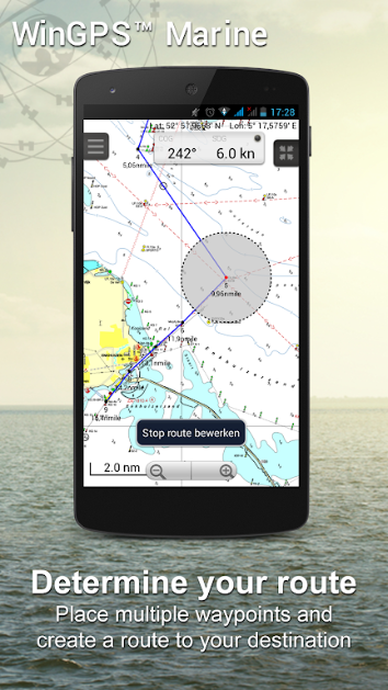
Route planning
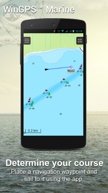
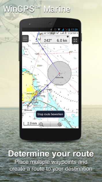
Long press the chart to easily draw the route and quickly adjust to avoid obstacles.
offline map
Download and store the latest maps for offline navigation without the need for an internet connection.
AIS and GPS connection
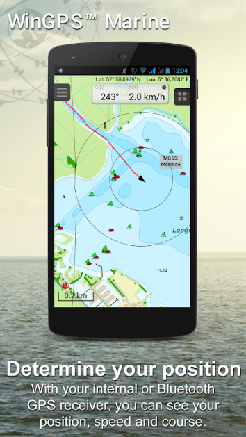
Connect AIS and GPS devices via wireless WIFI or Bluetooth to display real-time location and velocity vectors of other vessels.
Multiple View Modes
Provide three view modes: NorthUp, CourseUp, and HeadUp to meet different needs.
weather forecast
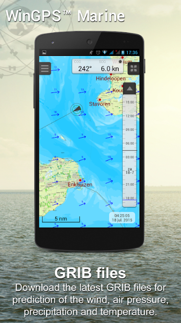
The NOAA World GRIB file provides wind speed, pressure, rainfall, and temperature predictions, as well as NOAA wave predictions (Plus version).
Waterway information
Support information on inland waterways in Western Europe and Danube bridges, gates, and waterways for quick route adjustments.
Smart tags
Prevent text label overlap to ensure optimal chart display.
Rescue button
One click activation of the "drowning" function helps quickly retrieve missing crew members.
Software advantages
Fully covering all types of ship needs, whether it is sailboats, motorboats, small boats, or even canoes, WinGPS Marine can be used for safe navigation, making it an ideal choice for renting or chartering ships.
Efficient data management manages trajectories, charts, routes, and waypoints, making data organization more organized and improving operational efficiency.
Strong compatibility and scalability support SD card storage for maps, multi device installation, and wireless connectivity with various onboard instruments, enabling more advanced features.
Software Highlights
The most advanced charts support the use of the latest updated charts such as Stentec, Imray, NOAA, and Delius Klasing, keeping your navigation always at the forefront.
The integration of dynamic weather models includes KNMI Harmonie detailed weather forecasts (Plus version only), providing more accurate information for the Netherlands region, as well as NOAA wave predictions worldwide.
Flexible purchasing and updating methods: Users can purchase digital nautical charts within the app or through the official website, and can install and use them on three different devices, such as Android tablets, phones, and Windows laptops.
Official website:None
Package name:com.stentec.wingps_marine_lite
Name:WinGPS Marine
MD5:e85727dcafbc843d0444191aede06840
Related applications

Mudflap appv3.1 Latest version
 Map navigation / 109.4M / 24-10-10Download

WinGPS Marine appv4.67 Latest version
 Map navigation / 6.9M / 24-10-09Download

HalalGuide appv5.0.36 Latest version
 Map navigation / 190.9M / 24-10-09Download

MBTA mTicket appv7.8.24 Latest version
 Map navigation / 19.7M / 24-10-08Download
You Might Also Like
Recommended
Microsoft SwiftKey AI Keyboard app download
65.6MDownload
interpals apk for android
28.6MDownload
Lensa mod apk 2024 latest version download
118.8MDownload
adobe acrobat reader dc for android
50.3MDownload
Snaptub Mobile app download
31.8MDownload
reminder pro mod apk unlimited money
4.0MDownload
chaton ai mod apk
39.8MDownload
Blood Pressure Tracker mod
40.1MDownload
